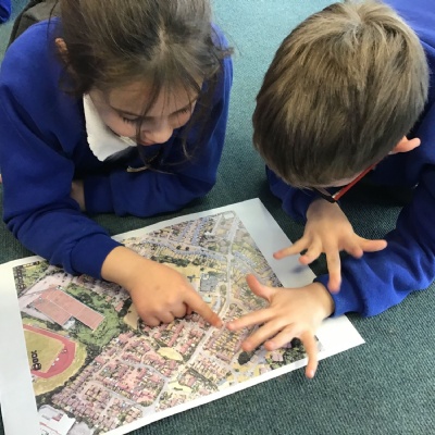
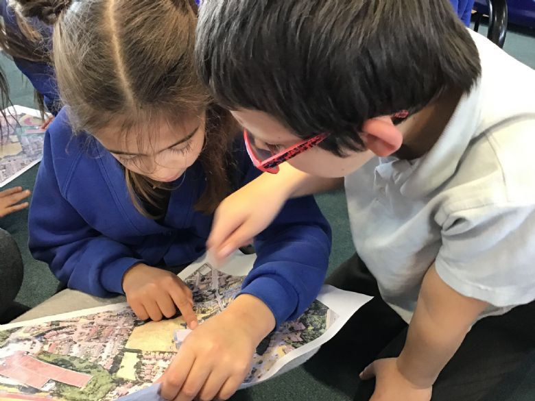
We've been using aerial photographs and maps to find out more about our local area and the world.
Looking at our local area we thought about where people could park their cars if they were coming to visit Tudor Primary School. We found possible places to park on an aerial photograph and then found the places on a map of the local area. Some of us took this a step further and wrote some directions to help people to walk to the school once they have found a parking space.
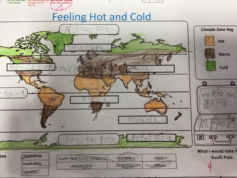
We have also been thinking about what our climate is like and thinking about how this is similar/different to other countries around the world. We discovered that places near to the equator have a hot climate and that places near to the North and South poles have a cold climate. We investigated this further and coloured in maps of the world to show the main climate zones.